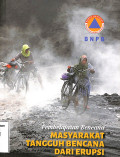
Pembelajaran Bencana Masyarakat Tangguh Bencana Dari Erupsi Gunungapi
gambaran kerawanan bencana gunungapi, persepsi masyarakat terhadap risiko, knowledge attitude and practice, ketangguhan
- Edisi
- -
- ISBN/ISSN
- 978-602-5693-03-8
- Deskripsi Fisik
- -
- Judul Seri
- -
- No. Panggil
- 551.21-Sut-p
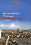
Rencana Aksi Nasional Pengurangan Risiko Bencana 2006-2009
latar belakang, kondisi kebencanaan di indonesia, landasan pengurangan risiko bencana
- Edisi
- -
- ISBN/ISSN
- -
- Deskripsi Fisik
- -
- Judul Seri
- -
- No. Panggil
- 551.2-Maw-r
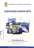
The Need For National Hidrographic Services
kebutuhan layanan hidrografi nasional, kerangka kerja hidrografi nasional, fungsi-fungsi layanan hidrografi nasional
- Edisi
- -
- ISBN/ISSN
- -
- Deskripsi Fisik
- -
- Judul Seri
- -
- No. Panggil
- 551.46-Har-n-3
Informasi dan Klasifikasi data Kelautan di Lokasi Proyek MREP
KLASIFIKASI DATA KELAUTAN, PETUNJUK PEMBACAAN TABEL, DAFTAR PETA LOKASI, PETA 10 LOKASI MCMA DAN 3 LOKASI SMA
- Edisi
- -
- ISBN/ISSN
- -
- Deskripsi Fisik
- -
- Judul Seri
- -
- No. Panggil
- 551.46-Ind-i-III
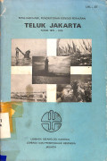
Evaluasi Hail Pemonitoran Kondisi Perairan Teluk Jakarta
Evaluasi Hasil Pemonitoran kondisi perairan teluk jakarta 1975-1979, kondisi hidrologi perairan teluk jakarta, pengamatan musi, seston dan klorofil fitoplankton di teluk jakarta
- Edisi
- -
- ISBN/ISSN
- -
- Deskripsi Fisik
- -
- Judul Seri
- -
- No. Panggil
- 551-pra-e
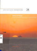
Waves of Hope
The tsunami disaster and the u.s political and military reaction, tsunami warning delays and media reporting inaccuracies, preparing the u.s navy operation
- Edisi
- -
- ISBN/ISSN
- 13 978-1-88473341-3
- Deskripsi Fisik
- -
- Judul Seri
- -
- No. Panggil
- 551.2.598-Ell-w
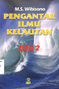
Pengantar Ilmu Kelautan
Pendahuluan, wawasan nusantara sebagai landasan orientasi bahari, sejarah terjadinya laut, bagian-bagian laut, sifat fisika kimia air laut, hidrodinamika laut
- Edisi
- -
- ISBN/ISSN
- -
- Deskripsi Fisik
- -
- Judul Seri
- -
- No. Panggil
- 551.46-Wib-p-II-2
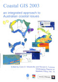
Coastal GIS 2003
use of gis in integrated ecosystem based oceans management, charating the frozen continent appreciating antarctic navigational charts, digital conversion of hydrographic information considerations and
- Edisi
- -
- ISBN/ISSN
- 1-74128-023-0
- Deskripsi Fisik
- -
- Judul Seri
- -
- No. Panggil
- 551.45-Woo-c
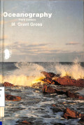
Oceannography
Earth the water planet, the ocean floor, deep sea sediment, water and its properties
- Edisi
- -
- ISBN/ISSN
- -
- Deskripsi Fisik
- -
- Judul Seri
- -
- No. Panggil
- 551.46-Gro-o
Searches of the sea
The ancient mariners, finders of the seven seas, a party of scientific gentelmen
- Edisi
- -
- ISBN/ISSN
- -
- Deskripsi Fisik
- -
- Judul Seri
- -
- No. Panggil
- 551.46-Dau-s
 Karya Umum
  Filsafat
  Agama
Agama  Ilmu-ilmu Sosial
  Bahasa
  Ilmu-ilmu Murni
  Ilmu-ilmu Terapan
  Kesenian, Hiburan, dan Olahraga
  Kesusastraan
  Geografi dan Sejarah